

SOME of the biggest changes to transport in Bradford’s recent history will be introduced from tomorrow, when several city centre streets permanently close to traffic.
Sunday will see the introduction of a new public transport loop and the closure of roads including Hall Ings and Market Street to traffic.
The changes come just over four years after Government awarded Bradford millions through the national 'Transforming Cities Fund' scheme to carry out major changes to make the centre more attractive to pedestrians and less dominated by car traffic.
Work to reconfigure the city centre road network has been underway since last Summer, and has included the creation of a new “loop” on which the city’s buses will now run.
It will see Well Street, a quiet pedestrian street between the Broadway Shopping Centre and Little Germany, has now become one of the main bus hubs in the city centre.

Roads being pedestrianised include Bank Street, Broadway, Market Street, Hall Ings and parts of Bridge Street.
The junction of Little Horton Lane and Prince’s Way will also be blocked off to vehicles, creating a new “pocket park” near the city’s war memorial.
Some councillors and local disability groups have raised concerns that details of the changes have not been well communicated with bus users, and that disabled and elderly residents may struggle to find the correct stops among the myriad of new locations and routes.
Emerson Walgrove, of Equality Together, says disabled residents and wheelchair users find the centre as “obstacle course” – and will have difficulty travelling to the new stops.
West Yorkshire Combined Authority says details of all effected routes have now been uploaded to their website, and that staff will be in the city centre from Sunday to direct people to the correct stops.
The pedestrianisation of Hall Ings will include the extension of Norfolk Gardens, creating a new city centre park that will incorporate a new entrance to Bradford Interchange – which will be where the under demolition NCP car park now stands. Phase 1 of construction work, which focused on works to roads around the edge of the city centre including on Croft Street, Jacobs Well, Prince’s Way, Godwin Street, Lower Kirkgate, Church Bank, Well Street and Vicar Lane is now finishing.
These works were to enable bus services and stops to move onto new public transport routes which go around the core of the city centre rather than through it.
Phase 2 of the work will start from Sunday 14 April will see:
• the removal of cones and barriers from these completed works
• the start of work to pedestrianise Bank Street, Broadway, Market Street, Hall Ings and parts of Bridge Street and Little Horton Lane. These roads will be closed to vehicle traffic from Sunday.
• the rerouting of buses onto the new public transport corridors with new bus stops around the core of the city centre – with many on Well Street
• the construction of the new green spaces
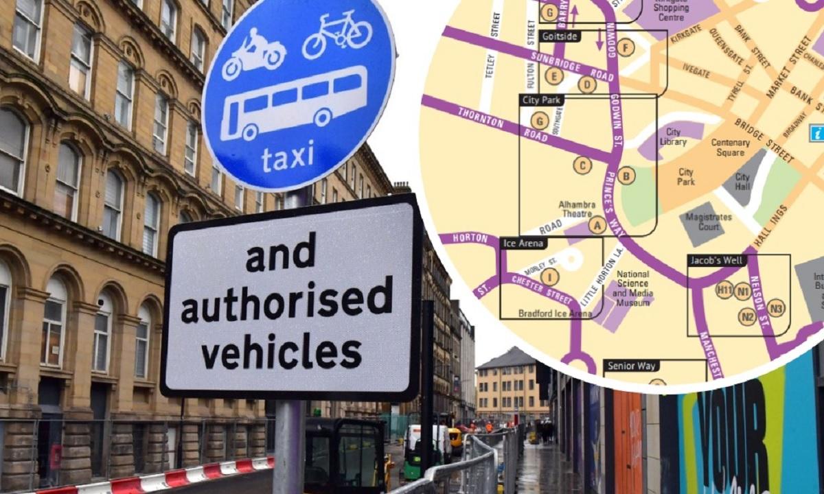
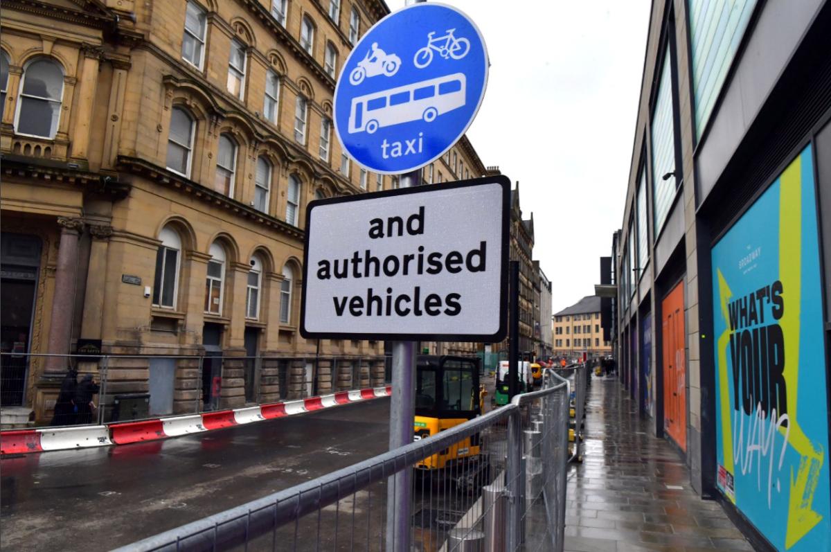
• changes to taxi ranks will mean the rank on Bank Street will no longer be accessible. The nearest taxi ranks to this location will be on Hall Ings by the junction with Well Street, outside of Bradford Interchange and on Sunbridge Road.
• changes to disabled parking. The blue badge parking on Bank Street and Norfolk Gardens will no longer be available from Sunday. The nearest blue badge spaces will be on Aldermanbury and Pictureville.
Although some streets will be closed to traffic, pedestrian access will be maintained at all times on these streets, including access to businesses and residential properties.
Access through The Broadway Shopping Centre will be kept open until 9pm each night to allow people to cut through the centre to get to and from the Well Street bus stops.
All bus timetables for Bradford city centre information about where people will catch their bus will be found on the West Yorkshire Metro website www.wymetro.com from Saturday. A Bradford Council spokesperson, said: “Traffic free greenspaces are being created to make the city centre a safer, easier and more pleasant place for people to spend time and to get around on foot or by bike.
“Unfortunately, disruption to both drivers and pedestrians is inevitable while works of this nature take place, but every effort is being made to minimise this wherever possible. We’d like to thank people for their patience while this improvement work takes place.”
Work is expected to be complete by the end of the year.
A high definition map of the new stops can be viewed here while a 60 page document detailing all the new bus routes and stops can be found here.


Comments: Our rules
We want our comments to be a lively and valuable part of our community - a place where readers can debate and engage with the most important local issues. The ability to comment on our stories is a privilege, not a right, however, and that privilege may be withdrawn if it is abused or misused.
Please report any comments that break our rules.
Read the rules hereLast Updated:
Report this comment Cancel