


THE limestone scenery near Settle is some of the best in England. The limestone itself creates a unique landscape which is best enjoyed by walking through.
Jonathan Smith runs Where2walk, a walking company in the Yorkshire Dales. Jonathan has written his own book, the Dales 30 which details the highest mountains in the Dales. He also runs one-day navigation courses for beginners and intermediates. Join his Learn a Skill, Climb a Hill weekends in the Dales. To find out more details on any of the above visit his website, where2walk.co.uk
THIS follows much of the Settle Loop between the town and Malham.
From the centre of Settle near the Talbot Inn follow the road past the folly (now with scaffolding) over the cobbles and in to Upper Settle and open countryside.
This is the steepest part of the day so head down and get it over with. Soon the gradient on the road reduces.
Almost immediately look for a lane on your left, signed with the Pennine Bridleway/Settle Loop. The steep hillside to your left is Sugar Loaf Hill (Rye Loaf Hill is further on to your right, a bit of a naming theme!).
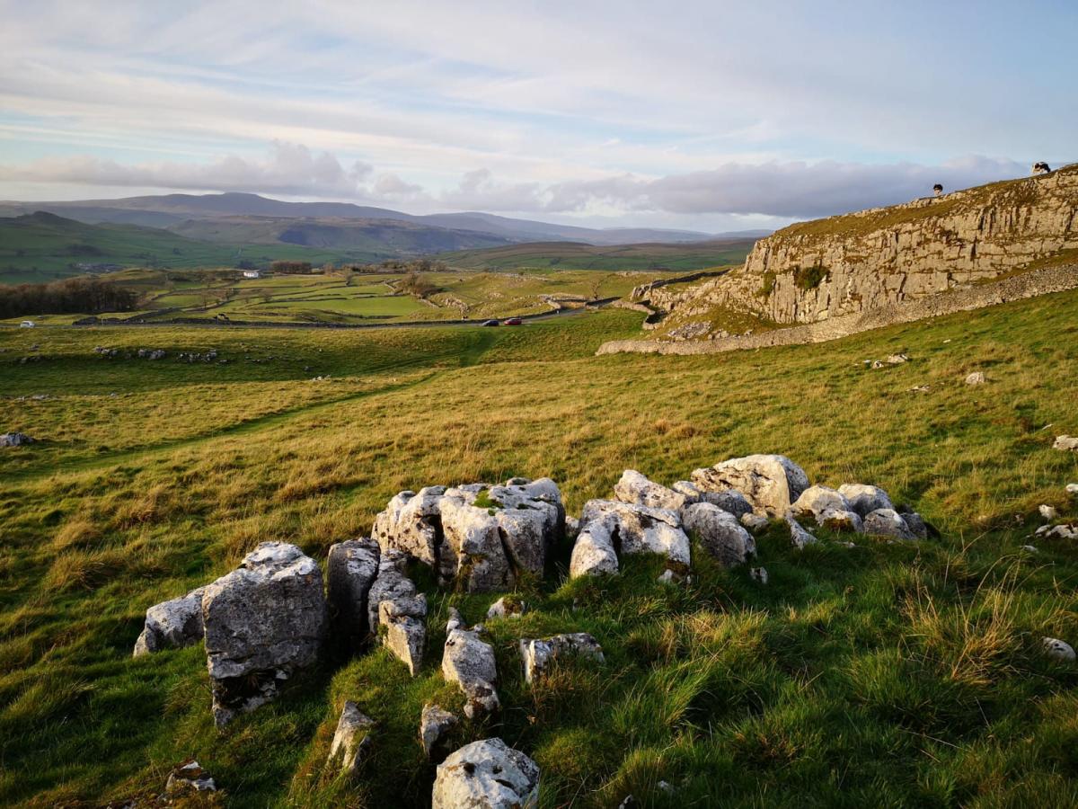
Follow the farm track towards Stockdale Farm. This is sheep farming country, classical Dales with dry stone walls, exposed limestone scars and short cropped grasses.
Ignore the track forking right in to the farm itself, continue on the higher path. The rocky track continues to climb until it reaches a high point passing through two gates.
Continue on the path as it descends towards another gate, Nappa Gate. Follow the route to Langscar Gate in a north easterly direction through some lovely exposed limestone.
Keep the wall to your right initially and see if you can spot Nappa Cross and mine shaft just before it drops steeply to your right. Do not follow the wall but stick to the obvious path NE until it meets a further path heading west. Turn left. This is the start of the return route.
The path west initially climbs and then is relatively flat for three miles, it is a lonely spot with birds and sheep only breaking the silence.
Be aware after heavy rain that a couple of the streams become quite fast flowing, on one outing I have had to go knee deep across a swollen beck!
After three miles of walking west come to a gate, do not go through it but take the path to the left to a small stile and a path that heads south with steep land to your left.
After 200 metres a sketchy path leads 100 metres uphill to Victoria Cave, well worth a detour. Discovered in 1837 the cave has been both a historian's and archaeologist's dream. Past discoveries have included bones from hippos, rhinos and elephants when the climate was much warmer, a brown bear when it was colder and several artifacts from Roman times when the cave may have been used as a shrine.
Returning to the path next to the wall continue south and through a stile where the land opens up.
Drop down the path under Attermire Scar (to your right) until a junction of paths at a gate. Take the right hand path through the gate and to a ladder stile (the ground can be wet here) before climbing alongside a wall to your left for 300 metres.
To your right a path leads to Attermire Cave (great shelter) but return to the main path until it reaches its high point at a gate.
From here the views over Settle and Ribblesdale open up impressively, it is a fine spot. Drop down the steep path heading for Settle till a lane leads you in to the town.
Fact File:
Distance: Roughly 10.5 miles.
Height to Climb: 500m (1,640 feet)
Start: SD 818635. There are 2 car parks in Settle, one near the rugby ground, the other just to the west of the main square..
Difficulty: Medium/Hard. All on good tracks (except the short detour to Victoria Cave) and with a steep start and final descent above Settle.
Refreshments: Settle has a large choice of cafes, pubs and shops.
Be Prepared:
The route description and sketch map only provide a guide to the walk. You must take out and be able to read a map (O/S Explorer OL2) and in cloudy/misty conditions a compass. You must also wear the correct clothing and footwear for the outdoors. Whilst every effort is made to provide accurate information, walkers head out at their own risk.
Please observe the Countryside Code and park sensibly.


Comments: Our rules
We want our comments to be a lively and valuable part of our community - a place where readers can debate and engage with the most important local issues. The ability to comment on our stories is a privilege, not a right, however, and that privilege may be withdrawn if it is abused or misused.
Please report any comments that break our rules.
Read the rules here