
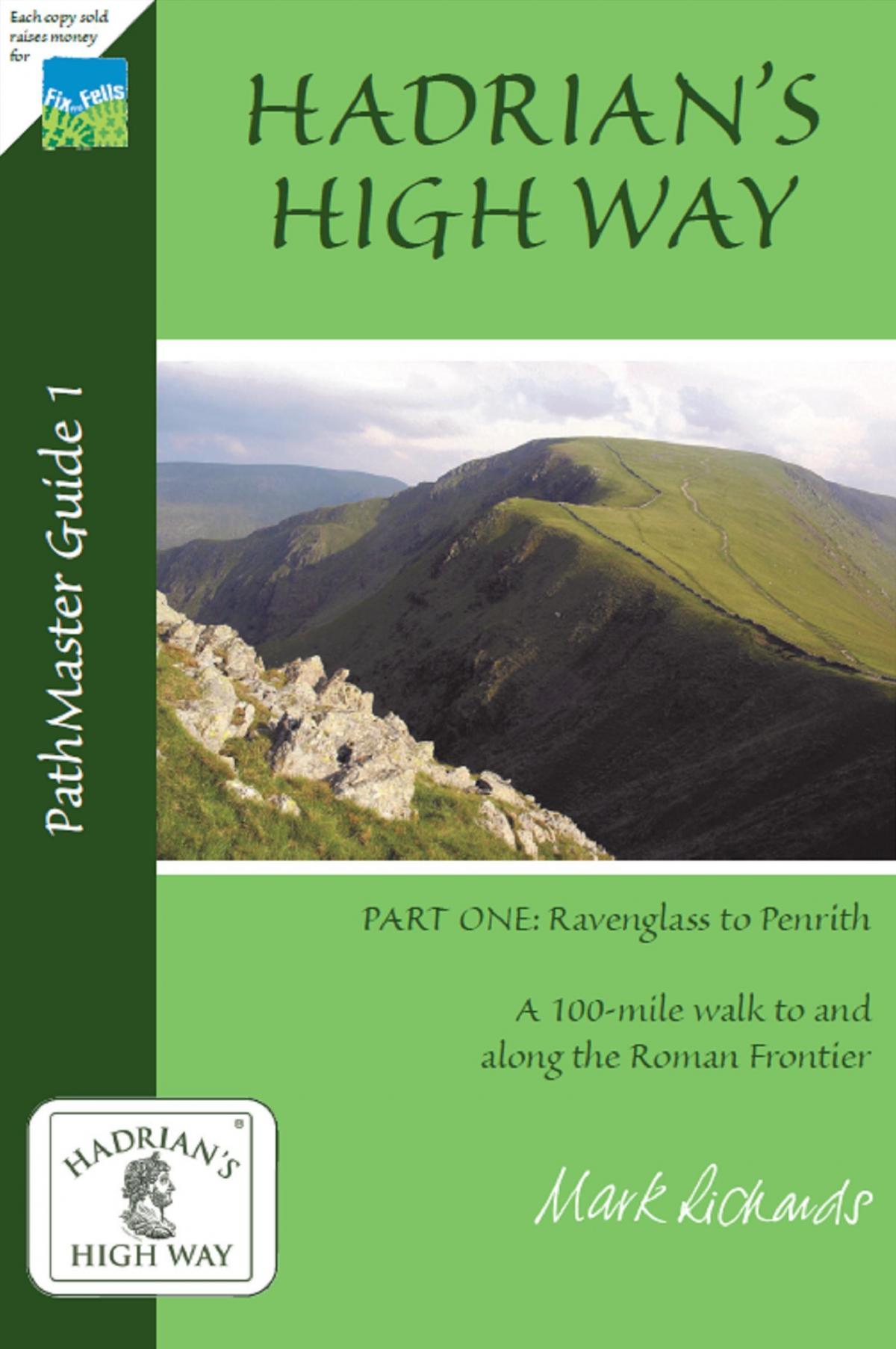
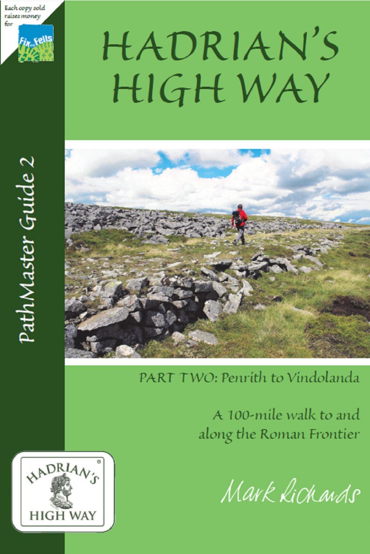
Hadrian’s High Way by Mark Richards published by PathMaster, an imprint of J R Nicholls. £6.99 each
Hadrian’s High Way is a guide written by journalist and walker Mark Richards and is a 100 mile walk from Ravenglass in Cumbria to the Vindolanda Roman Fort in Northumberland. The guide is split into two books, each covering half of the route – Ravenglass to Penrith and Penrith to Vindolanda.
The guides have been prepared to coincide this year with the 1900th anniversary of Hadrian’s accession as Emperor on August 11 2017.
Hadrian’s name is synonymous with the wall built from Bowness on Solway in Cumbria to Wallsend in Tyne & Wear but his period of rule in England included much more than the supervision of the building of this structure to keep out the marauding Scots from invading. He was also responsible for the building of many forts on both the coasts of England and at strategic points inland. Hadrian’s High Way, therefore, looks both at the frontier with the wall but also the majestic hinterland inland from the coast and through which the Roman garrisons marched, for roughly 300 years of their occupation of England.
Heading eastwards from the fort of Glannoventa at Ravenglass, the route firstly visits the fort at Hard Knott and then heads to Ambleside where the third fort of Galava is found. It then continues over via Troutbeck to the Roman Road on High Street and down to the Cockpit Stone Circle, Lowther Park, Brougham Hall and Eamont Bridge before heading to Penrith.
One of Mark’s objectives in his walking books has been ecology and the use of public transport wherever possible to the start and finish points of a walk and both Ravenglass at the start of the walk and Penrith at the end of the first half are on the national railway network.
The second half of the walk starts by visiting Brougham Castle with the fourth fort Brocaum before moving into the Eden Valley and Kirkby Thore where the fifth fort Bravoniacum is located. The route then follows the Maiden Way over the Pennine Watershed to the market town of Alston and down the South Tyne valley following the Pennine Way to the sixth fort of Epiacum and the seventh fort of Magna at Carvoran where the Vindolanda Trust has its Roman Army Museum.
The final leg of the walk follows Hadrian’s Wall over the Whinsill and onto the forts of Great Chesters – Aesica, and Housteads – Vercovicum before dropping down to Vindolanda which is only a short distance away from the Bardon Mill station on the Tyne Valley line where public transport can return the walker to Penrith.
Mark recommends up to two weeks for the walk so that there is plenty of time to explore the forts as they are reached. Alternatively by using public transport of both trains and buses the walk can be spilt into bite-sized portions and done at weekends.
In the book are a number of pen and ink drawings of the forts and landscapes done by Mark – one of his trademarks and very much in the style of Alfred Wainwright the Lakeland Guidebook writer. There are also various full colour maps for each of the sections of the route.
On our holiday in Northumberland earlier this year we visited a number of sites in the second book – Great Chesters, Housteads and Vindolanda and these are extremely fascinating. But I have also been to the forts at Ravenglass, Hard Knott and Ambleside over the years and these are equally worth exploring.
These are a fascinating couple of books and for both walkers and anyone interested in Roman History, this is a walk that will take you back nearly two millennia to the days of the Roman occupation of Northern England.


Comments: Our rules
We want our comments to be a lively and valuable part of our community - a place where readers can debate and engage with the most important local issues. The ability to comment on our stories is a privilege, not a right, however, and that privilege may be withdrawn if it is abused or misused.
Please report any comments that break our rules.
Read the rules here