

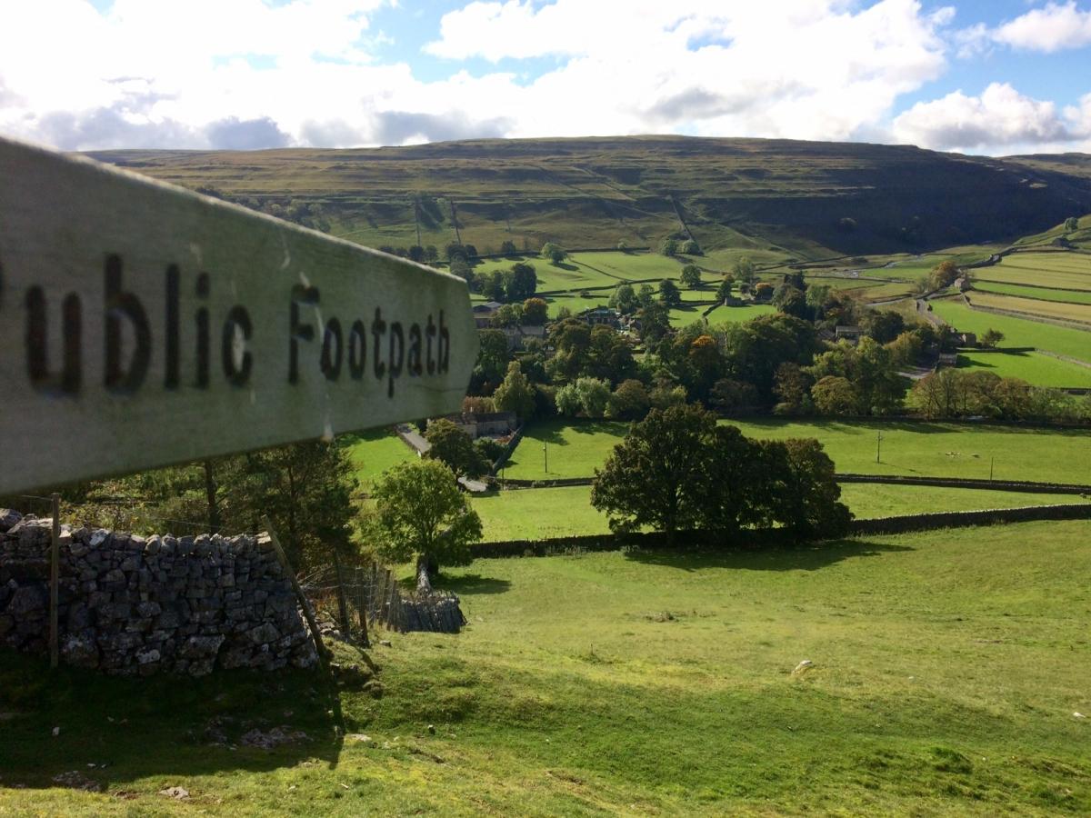
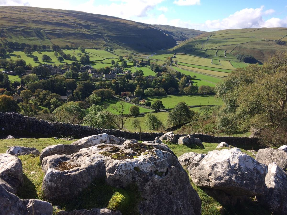
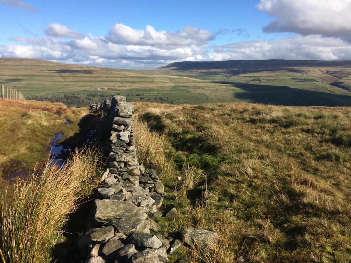
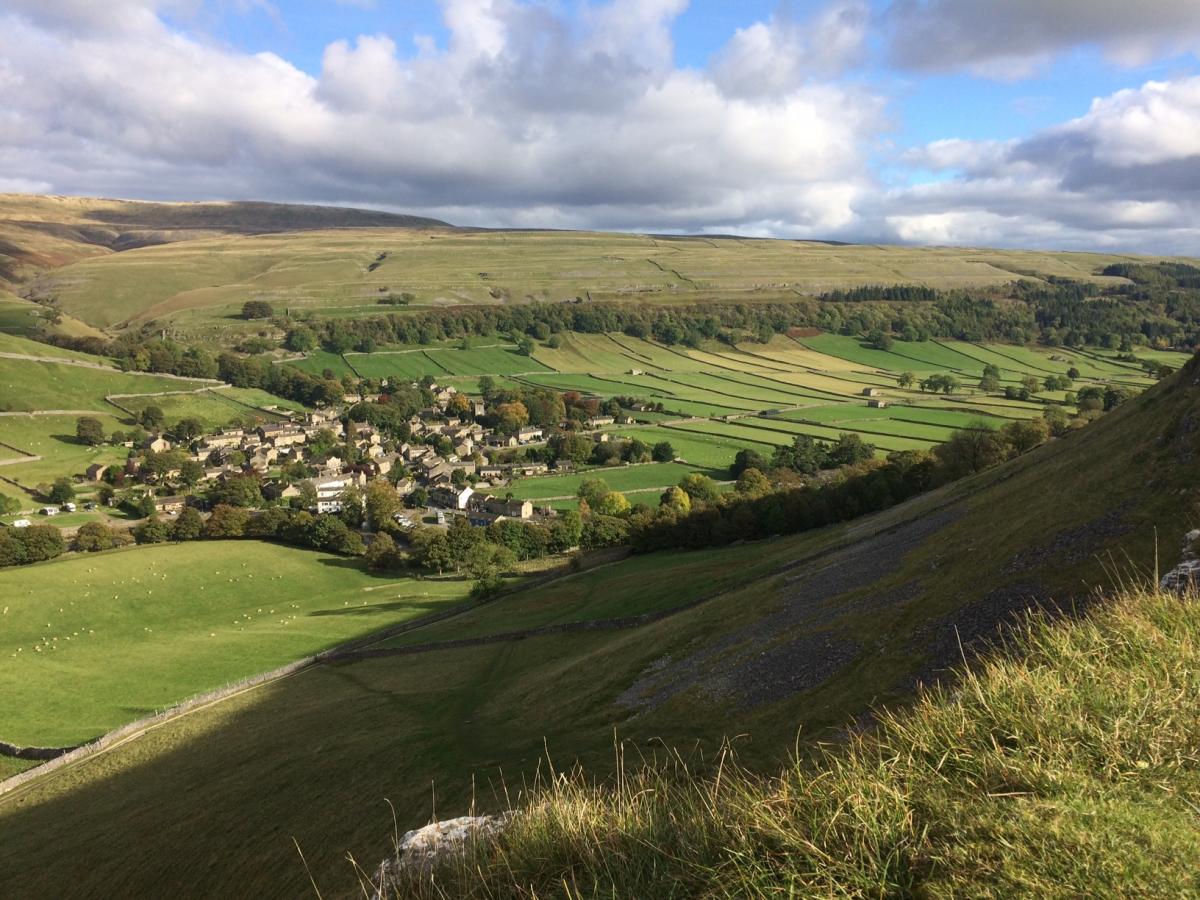
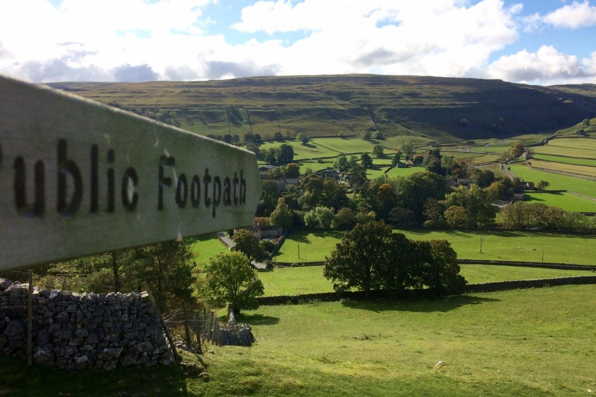
YOU'LL know you've done a walk after this ramble up and down some splendid fells and valleys in Upper Wharfedale, writes Lesley Tate. It sets off from Arncliffe, climbs steeply up and then down to Starbotton, and then follows the River Wharfe to Kettlewell before climbing back up and over to Arncliffe. Its not a walk for the faint-hearted, and you might want to think twice about it in wintery conditions, where some of the scrambles up and down through narrow limestone gulleys could get a bit treacherous. I did it on a lovely autumn day, however, and it was perfect, the views being simply magnificent. A small section, along the Dales Way, between Starbotton and Kettlewell, was fairly busy - certainly more so than I'm used too - and there were a few other walkers, and even some people out hunting rabbits with hawks and dogs, but mostly, we had the stunning scenery to ourselves.
Step by step:
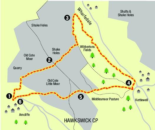
1 From Arncliffe, with the Falcon behind you, head across the green and pass between cottages to come out to the left of Arncliffe Church, go over the river bridge, ignore the first footpath (off to the right - you will return this way later) and carry on a short way along the road to where it is joined by another road from right - take the footpath straight ahead, signed Starbotton. Here starts the first of the climb, which pretty much continues for a few miles. Head up the hill, and follow the path, which bears to the right, before joining a stony track. Stay on the track for some way as it continues to climb, passing though a couple of gates.
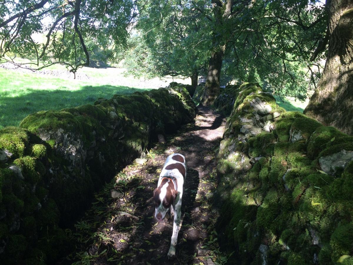
2 The path goes through what is left of a metal gate, in front of a remote farmstead, before bearing off to the right, some more climbing through the heather moorland to a wall stile at the top of the hill, after which the path starts to descend. The path becomes a wall lined track here. Ignore path off to right signed Kettlewell, and stay on path on left, which will after a gate, turn sharply to left, with the hamlet of Starbottton visible at the bottom of the valley. The narrow track descends quite sharply and the limestone can get quite treacherous. The path eventually levels out, and becomes a walled track, before winding around the back of the remains of a barn and into a field in front of a footbridge. Turn right here (don't go over bridge) and follow path to Kettlewell, with River Wharfe on your left. Stay on the well trodden Dales Way footpath all the way into Kettlewell, coming out on the road, to the left of the river bridge into the village.
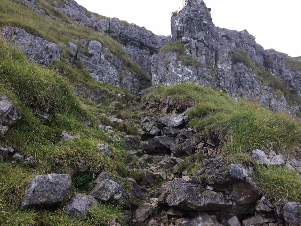
3 Straight after emerging onto the road, take the path sharp right marked Moor End and Arncliffe. After a short way, follow the second sign, marked Arncliffe. You are now at the start of the second long climb, with a very narrow gulley to negotiate - and some serious scrambling. Follow the obvious path as it climbs steadily uphill until you eventually reach a ladder stile.
4 Once over the ladder stile, the path starts to bear off to the right and to descend, with the valley opening up to your left.
5 There is one more serious scramble, downhill this time, which opens up to new woodland, before coming out on the road, and over to the back of Arncliffe Church.
Factfile:
Location: Upper Wharfedale, Yorkshire Dales National Park.
Distance: about nine miles (15km), allow four and a half hours.
Difficulty level: Hard, but with some gentle bits.
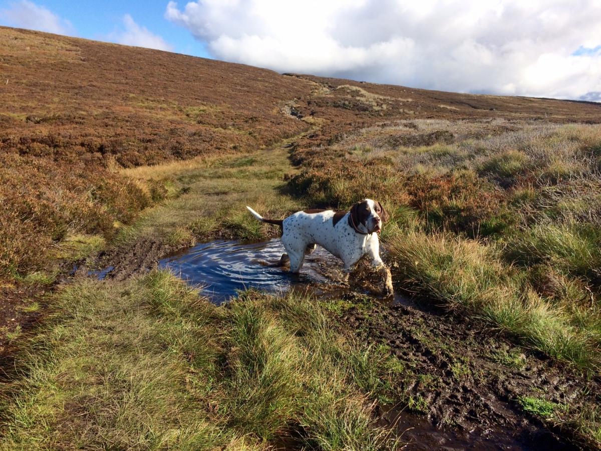
Livestock: Sheep and cattle, be very careful with dogs and keep them under control - you never know when a sheep will jump out at you.
Parking: On road at Arncliffe
Refreshments: The Falcon Inn, Arncilffe, and on route at Kettlewell
OS Map: OL 30 Yorkshire Dales, Northern and Central areas
Fitfacts:
21,000 steps
187 floors
2,600 calories


Comments: Our rules
We want our comments to be a lively and valuable part of our community - a place where readers can debate and engage with the most important local issues. The ability to comment on our stories is a privilege, not a right, however, and that privilege may be withdrawn if it is abused or misused.
Please report any comments that break our rules.
Read the rules here